IIIF Georeference Viewer: Visualizing Georeferenced Content on Interactive Maps
Introducing a viewer for IIIF Georeference Extension. Overlay historical maps and images on interactive maps.
iiifgisdigital-humanitiesnuxt
Introducing a viewer for IIIF Georeference Extension. Overlay historical maps and images on interactive maps.
Complete guide to annotation coordinate conversion in Leaflet-IIIF

Bringing a Specified Marker to the Front in nuxt3-leaflet
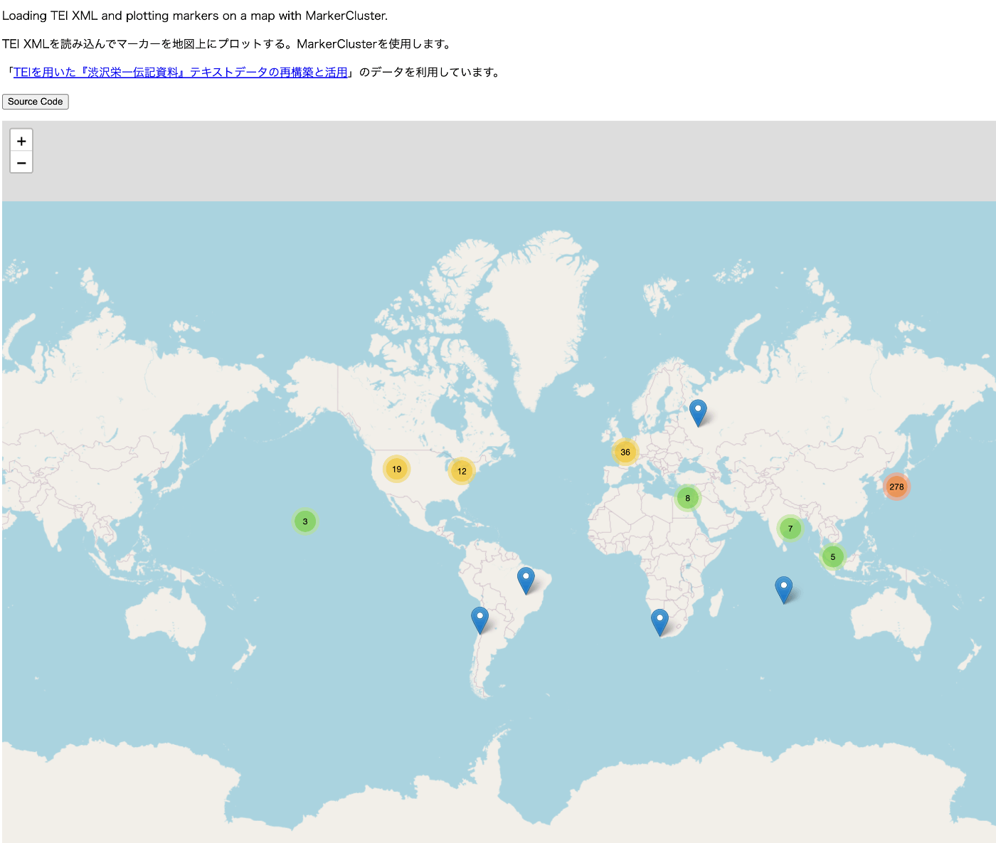
TEI/XML visualization example: map display using Leaflet
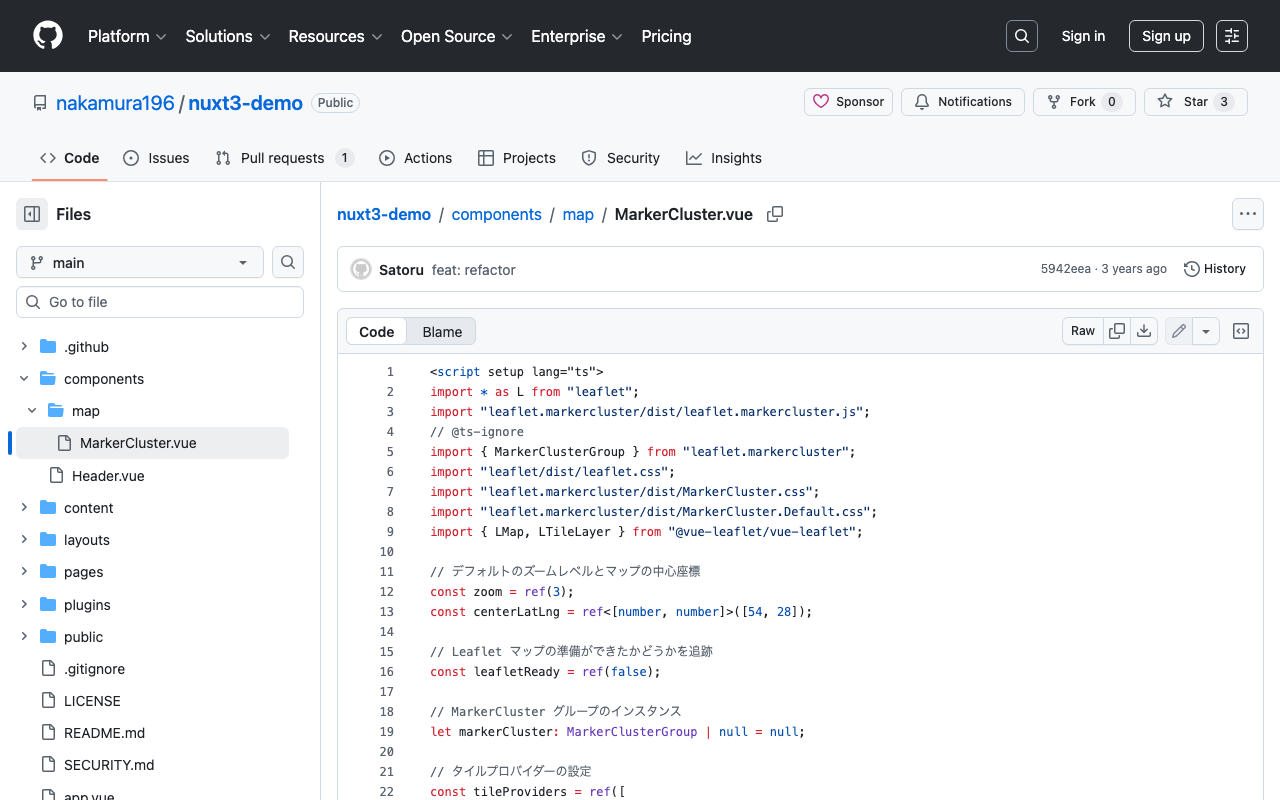
Trying Leaflet Marker Cluster with Nuxt 3 and Composition API
Trying Leaflet Marker Cluster with Nuxt 3
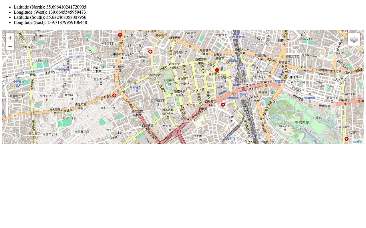
Usage Example of Leaflet with Vue 3 (Including Coordinate Range Retrieval)