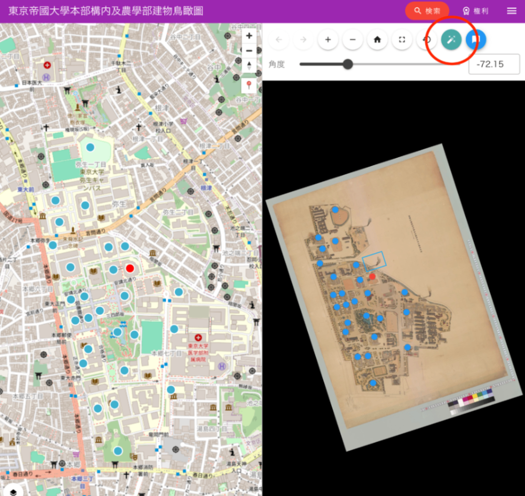
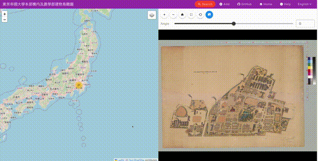
๐Kepler.gl: An Open-Source Tool for Beautiful Large-Scale Geospatial Data Visualization
An overview of Kepler.gl, Uber's large-scale geospatial data visualization tool, and how it can be used in Digital Humanities research.

An overview of Kepler.gl, Uber's large-scale geospatial data visualization tool, and how it can be used in Digital Humanities research.

Introducing a viewer for IIIF Georeference Extension. Overlay historical maps and images on interactive maps.

DOM-based custom markers (maplibregl.Marker) in MapLibre GL JS lag behind the map during zoom and pan. This article explains the cause and a solution using GeoJSON source with Circle/Symbol layers.

IIIF Georeference to XYZ Tiles

Image collection management tool: technical architecture explained

IIIF Georeference Viewer Migration to MapLibre GL and Feature Improvements

Updates to the IIIF Georeference Extension Visualization Tool

Trying Out Peripleo

Trying Out "Rekichizu" (Historical Maps)

[Memo] How to Use Maplat